Producing Basin
Basin Status
Passive Margin Deltaic Basin
Tectonic Setting
0
Area (km2)
0
Visitor Count
0
Likes
Prospectivity & Resources
of
Kutai Basin
Basin Capacity
Data based on
11 Jun 2026
Oil
N/A
MMBO
(Million Barrels of Oil)
Gas
N/A
TCF
(Trillion Cubic Feet)
Resources
Data based on
11 Jun 2026
Oil
Conventional N/A
Conventional N/A
MMBO
(Million Barrels of Oil)
Gas
Conventional N/A
Conventional N/A
TCF
(Trillion Cubic Feet)
Oil
Unconventional 1472.46
Unconventional 1472.46
MMBO
(Million Barrels of Oil)
Gas
Unconventional 84.73
Unconventional 84.73
TCF
(Trillion Cubic Feet)
Executive Summary
of
Kutai Basin
Description
Version
1
Published Date
14 Sep 2022
Uploaded Date
10 Mar 2023
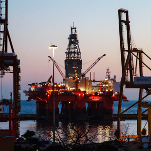
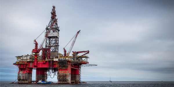
Photos
Some footage of Kutai Basin


Introduction
Preliminary details of Kutai Basin
Non-conventional oil and gas prospect area recommendation in the Kutai Basin is one of the research activities of the Geological Survey Center in 2015 – 2018. Geographically, the Kutai Basin is located in the eastern part of Kalimantan Island with coordinates 103 deg N - 2 deg S, and 113 deg - 118 deg E. The research locations were located in Kutai Kartanegara Regency, Samarinda City, Balikpapan City, North Penajam - Paser Regency, Paser Regency, Sangatta City, West Kutai Regency, East Kutai Regency and Mahakam Ulu Regency which are included in East Kalimantan Province. The data used for the preparation of recommendations for this oil and gas prospecting area were surface, subsurface geological data and geophysical data. Surface geology is obtained by conducting field surveys, recording earth aspects such as stratigraphy, structure, and taking rock samples from outcrops for analysis, especially organic geochemical analysis. Subsurface geological data in the form of well data, 2D seismic, and magnetotelluric. The data for the magnetotelluric survey consisted of 40 observation stations spread across a semi-grid with a coverage area of about 1500 square km. By integrating surface and subsurface geological data, it was expected to produce prospect areas and shale gas resource reserves.
Data based on:
14 Sep 2022
Exploration History
Detailed history of Kutai Basin
Exploration activities in the Kutai Basin began around the Samarinda Anticlinorium, where oil seeps were found, which found oil at a depth of 46 meters with a well named Louise-1 near Sanga-Sanga in 1897. The first PSC in the 1960s carried out geophysical surveys. who successfully discovered giant oil and gas fields in the Kutai Basin both onshore and offshore. The Attaka Field was the first field discovered by PSC Unocal and Inpex in 1970. TOTAL was first involved in the Kutai Basin as a partner of JAPEX. These two companies discovered the Bekapai Fields (1972), Tunu (1973), and the giant Handil and Tambora Fields in 1974. Until now TOTAL is still working at Sisi, Nubi and Peciko Fields. Peciko was first drilled in 1982 and reactivated in 1991. Lemigas conducted several studies in the Kutai Basin. The Center for Coal and Geothermal Mineral Resources previously also conducted a study in the Kutai Basin, particularly regarding Coal Methane Gas.
Data based on:
14 Sep 2022
Regional Geology
Detailed regional geology of Kutai Basin
The Kutai Basin is located at the southeastern tip of the Sundaland and is located between the three main active tectonic plates of the world such as Eurasia, Indo-Australia, and the Pacific Plate. This causes the formation of the Kutai Basin to be influenced by various tectonic activities that occur regionally. The basin is bounded by the Schwaner Mountains to the southwest, the Kuching High to the west, the Makassar Strait to the east, and the Meratus Mountains to the south. In addition, the Kutai Basin is bounded by two shear faults with a NW-SE direction, namely the Adang Fault in the south and the Mangkalihat Fault in the north in sinistral movement. To the south of the Kutai Basin are also found the Barito Basin and the Tarakan Basin in the north, both of which formed at the same time as the Kutai Basin, in the Middle Eocene. In the middle of the Kutai Basin there is the Samarinda Anticlinal zone in the form of a collection of anticlines in the NW-SE direction. Based on the geological map and the anomaly shape of the gravity map, the Kutai Basin as a whole can be divided into three subbasins, namely the West Kutai Basin (Upper Kutai Basin), the East Kutai Basin (Lower Kutai Basin) and the Sand Basin (Heryanto et al, 2013). Regional stratigraphy of the Kutai Basin shows that Cenozoic sediments have the main depositional sedimentation cycles: Eocene-Oligocene (transgression cycle of synrift and sagging), Oligocene-Middle Miocene (regression cycle of post-rift), Middle Miocene-Late Miocene (inversion sediment-fill progradation cycle), and Pliocene-Quarter (post-inversion).
Data based on:
14 Sep 2022
Petroleum System
Detailed petroleum system of Kutai Basin
Sweet spots are determined by pay zone such as, Vshale value is more than 0.5, TOC value>1, brittleness minimum at 0.48, and must be in the gas window. Calculation of gas in place (GIP) is based on the sum of the values of free gas and absorbed gas using the Ambrose equation. From the results of calculations in the 2017 research results, it was found that Block C had the highest potential (GIP = 21.71 TCF), followed by Block A (17.94 TCF) then Block B with a GIP of 9.7 TCF. So that when added up, all potential reserves of the Kutai MNK prospect area will be worth 46.79 TCF. While the GIP calculation from the 2018 study, the original oil in place (OOIP) calculation according to the research results of Marlan W. Downey, et al (2011) was obtained by taking into account the hydrocarbon S1. The results of shale resources are 37.94 TCF (gas case) and 1472.46 MMBO (oil case).
Data based on:
14 Sep 2022
Resources
Detailed resources of Kutai Basin
Data based on:
14 Sep 2022
Petroleum System Chart
of
Kutai Basin
Description
Version
1
Published Date
20 Sep 2022
Uploaded Date
20 Jun 2023
Petroleum System Chart
Petroleum system chart to Kutai Basin
Montage
of
Kutai Basin
Description
Version
1
Published Date
14 Sep 2022
Uploaded Date
10 Mar 2023
Montage
Detailed montage of Kutai Basin
Reports & Publications
of
Kutai Basin
Description
Version
2
Published Date
-
Uploaded Date
20 Jun 2023
Reports & Publications PDF
The PDF displayed is only pages 1 to 20. For a complete PDF, you can download it by clicking the download button.
Archives of Report & Publication
| Date | Report Description | Version | Doc | |
| 01 Nov 2018 | Rekomendasi Wilayah Keprospekan Migas Non Konvensional Kutai I | 1 | Download PDF |
| Date | Publication Description | Version | Doc | |
| Oct 01, 2022 | Jurnal Cekungan Kutai Tahun 2022 | 1.0 | Download | |
| Oct 01, 2021 | Jurnal Cekungan Kutai Tahun 2021 | 2.0 | Download | |
| Oct 04, 2020 | Jurnal Cekungan Kutai Tahun 2020 | 1.0 | Download | |
| Oct 04, 2019 | Jurnal Cekungan Kutai Tahun 2019 | 2.0 | Download | |
| Oct 09, 2018 | Jurnal Cekungan Kutai Tahun 2018 | 2.0 | Download | |
| Oct 03, 2017 | Jurnal Cekungan Kutai Tahun 2017 | 1.0 | Download | |
| Oct 06, 2016 | Jurnal Cekungan Kutai Tahun 2016 | 2.0 | Download | |
| Oct 08, 2015 | Jurnal Cekungan Kutai Tahun 2015 | 2.0 | Download | |
| Oct 07, 2014 | Jurnal Cekungan Kutai Tahun 2014 | 2.0 | Download | |
| Oct 08, 2013 | Jurnal Cekungan Kutai Tahun 2013 | 1.0 | Download | |
| Oct 06, 2012 | Jurnal Cekungan Kutai Tahun 2012 | 1.0 | Download |