Ditapis dengan
Penyelidikan Hidrogeologi di Daerah Sulit Air / Desa Tertinggal untuk Penentu…
- Edisi
- -
- ISBN/ISSN
- -
- Deskripsi Fisik
- iv, 31 hlm.:ill;gbr;tab;lamp
- Judul Seri
- -
- No. Panggil
- PAG L2025-142
- Edisi
- -
- ISBN/ISSN
- -
- Deskripsi Fisik
- iv, 31 hlm.:ill;gbr;tab;lamp
- Judul Seri
- -
- No. Panggil
- PAG L2025-142
Penyelidikan Hidrogeologi di Daerah Sulit Air / Desa Tertinggal untuk Penentu…
- Edisi
- -
- ISBN/ISSN
- -
- Deskripsi Fisik
- iii, 28 hlm.:ill;gbr;tab;lamp
- Judul Seri
- -
- No. Panggil
- PAG L2025-140
- Edisi
- -
- ISBN/ISSN
- -
- Deskripsi Fisik
- iii, 28 hlm.:ill;gbr;tab;lamp
- Judul Seri
- -
- No. Panggil
- PAG L2025-140
Penyelidikan Hidrogeologi di Daerah Sulit Air / Desa Tertinggal untuk Penentu…
- Edisi
- -
- ISBN/ISSN
- -
- Deskripsi Fisik
- iii, 22 hlm.:ill;gbr;tab;lamp
- Judul Seri
- -
- No. Panggil
- PAG L2025-139
- Edisi
- -
- ISBN/ISSN
- -
- Deskripsi Fisik
- iii, 22 hlm.:ill;gbr;tab;lamp
- Judul Seri
- -
- No. Panggil
- PAG L2025-139

Laporan Pengeboran Potensi CBM di Bayung Lencir Musi Banyuasin Sumatera Selatan
- Edisi
- -
- ISBN/ISSN
- -
- Deskripsi Fisik
- iii, 44 hlm. : ill.
- Judul Seri
- -
- No. Panggil
- PMB LA 2012 - 10 BB
- Edisi
- -
- ISBN/ISSN
- -
- Deskripsi Fisik
- iii, 44 hlm. : ill.
- Judul Seri
- -
- No. Panggil
- PMB LA 2012 - 10 BB
Laporan Inventarisasi Mineral Bukan Logam Kabupaten Polewali Mandar dan Kabup…
- Edisi
- -
- ISBN/ISSN
- -
- Deskripsi Fisik
- 71 Halaman , Daftar Tabel, Daftar Gambar, Daftar L
- Judul Seri
- -
- No. Panggil
- PMB LS 2013 - 1
- Edisi
- -
- ISBN/ISSN
- -
- Deskripsi Fisik
- 71 Halaman , Daftar Tabel, Daftar Gambar, Daftar L
- Judul Seri
- -
- No. Panggil
- PMB LS 2013 - 1

Laporan Penyelidikan Sumber Daya Bitumen Padat di Pegunungan Tigapuluh Selata…
Kegiatan Penyelidikan sumber daya bitumen padat adalah salah satu upaya untuk dalam mendukung kebijakan difersifikasi energi.
- Edisi
- -
- ISBN/ISSN
- -
- Deskripsi Fisik
- v, 34 hlm. : ill.
- Judul Seri
- -
- No. Panggil
- PMB LA 2012 - 9 BB
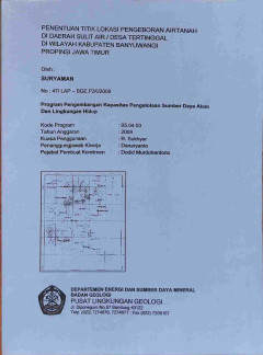
Penentuan Titik Lokasi Pengeboran Airtanah di Daerah Sulit Air / Desa Terting…
Berdasarkan hasil penyelidikan disimpulkan, Desa Wongsorejo merupakan daerah sulitair atau reven air, yang secara morfologi merupakan daerah pedataran, terletak kurang lebih 10 km dibagian barat daya ibukota kabupaten Banyuwangi, dengan elevasi ketinggian sekitar lebih dari 150 meter di atas muka laut. Batuan yang menutupi daerah ini terdiri dari endapan gunungapi yang terdiri dari tufa, pasir …
- Edisi
- -
- ISBN/ISSN
- -
- Deskripsi Fisik
- iii, 28 hlm.:ill;gbr;tab;lamp
- Judul Seri
- -
- No. Panggil
- PAG L2025-138
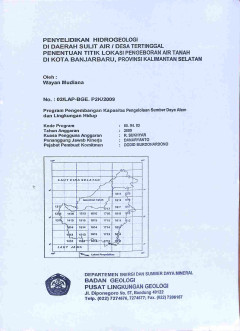
Penyelidikan Hidrogeologi di Daerah Sulit Air / Desa Tertinggal Penentuan Tit…
Berdasarkan hasil penyelidikan, disimpulkan lokasi daerah penelitian merupakan daerah sulit air. Lokasi Warga RT.39-RW.01 Sungai Samba dan Pondok Pesantren Nurul Ma'ad berturut-turut berlevasi kurang lebih 8,0 maml dan 5 maml, menempati daerah dataran rendah yang merupakan daerah lepasan air tanah. Secara geologi dua desa ini ditutupi oleh aluvium berupa endapan sungai dan rawa yang terdiri ata…
- Edisi
- -
- ISBN/ISSN
- -
- Deskripsi Fisik
- iii, 44 hlm.:ill;gbr;tab;lamp
- Judul Seri
- -
- No. Panggil
- PAG L2025-137
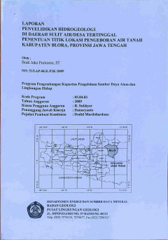
Penyelidikan Hidrogeologi di Daerah Sulit Air / Desa Tertinggal Penentuan Tit…
Berdasarkan hasil penyelidikan disimpulkan, dari tiga desa yang direkomendasikan oleh Pemkab. Blora sebagai loaksi penyelidikan telah dipilih Desa Jagong, Kec. Kunduran dan Desa Karangtengah, Kec, Ngawen untuk dilakukan penyelidikan lebih lanjut. Berdasarkan analisis dari pengukuran geolistrik, yang dimungkinkan terdapat air meskipun dalam jumlah yang kecil adalah lapisan batuan yang diinterpre…
- Edisi
- -
- ISBN/ISSN
- -
- Deskripsi Fisik
- iv, 33 hlm.:ill;gbr;tab;lamp
- Judul Seri
- -
- No. Panggil
- PAG L2025-136
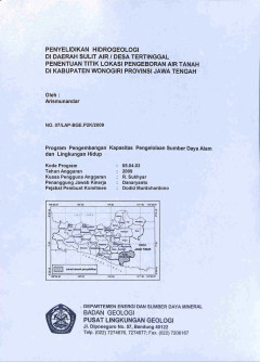
Penyelidikan Hidrogeologi di Daerah Sulit Air / Desa Tertinggal Penentuan Tit…
Berdasarkan hasil penyelidikan lapangan yang ditunjang dengan pendugaan geolistrik dan urutan alternatif desa yang membutuhkan air bersih. Maka akan dilakukan pengeboran eksplorasi air tanah di Desa Sumberharjo. Dengan spesifikasi teknis kedalaman sumur bor di desa Sumberharjo berkisar kurang lebih 160 m bmt. Akuifer dijumpai pada kedalaman berkisar antara 30-120 m bmt, Litologi akuifer berupa …
- Edisi
- -
- ISBN/ISSN
- -
- Deskripsi Fisik
- ii, 29 hlm.:ill;gbr;tab;lamp
- Judul Seri
- -
- No. Panggil
- PAG L2025-135
 Karya Umum
  Filsafat
  Agama
Agama  Ilmu-ilmu Sosial
  Bahasa
  Ilmu-ilmu Murni
  Ilmu-ilmu Terapan
  Kesenian, Hiburan, dan Olahraga
  Kesusastraan
  Geografi dan Sejarah