Ditapis dengan
Informasi peraturan perundang-undangan
- Edisi
- -
- ISBN/ISSN
- -
- Deskripsi Fisik
- 335p.,.21 x 32 cm
- Judul Seri
- -
- No. Panggil
- 348.73 NTO l
- Edisi
- -
- ISBN/ISSN
- -
- Deskripsi Fisik
- 335p.,.21 x 32 cm
- Judul Seri
- -
- No. Panggil
- 348.73 NTO l
Undang-undang pertambangan mineral dan batubara : undang - undang Republik In…
Pembangunan pertambangan harus menyesuaikan diri dengan perubahan lingkungan strategis, baik bersifat nasional maupun internasional. Tantangan utama yang dihadapi oleh pertambangan mineral dan batubara adalah pengaruh golbalisasi yang mendorong demokratisasi, otonami daerah, hak asasi manusia, linkungan hidup, perkembangan teknologi informasi , hak atas kekayaan intelektual serta tuntutan penin…
- Edisi
- -
- ISBN/ISSN
- -
- Deskripsi Fisik
- 101p.,10 x 21 cm
- Judul Seri
- -
- No. Panggil
- 343.077 5 TIM i
2nd Edition using clipper
This book serves two basic purposes. First, it is an introduction to the clipper programming environment. If you sit and skim the first section of this book tonight, you will be creating clipper programs tomorrow morning. The second purpose of this book is to serve as your main reference whenever you need to look up a command or function. This book represents the most complete documentastion of…
- Edisi
- 2nd
- ISBN/ISSN
- 0-88022-663-3
- Deskripsi Fisik
- 685p,.ill. 22 x 18 cm
- Judul Seri
- -
- No. Panggil
- 005.5 ARD u
The magic of Blender 3D modeling
Blender 2.8 adalah software modelling, animasi 3D gratis yang handal sehingga menjadi tool utama animator, arsitek dan digital artist profesional. di buku ini hanya membahas visualisasi 3 dimensi statis (bukan animasi) di berbagai kasus untuk desain produk, grafis arsitektur, landscape, mahkluk hidup dan lain-lain. selain pembentukan objek 3D, dikupas juga penempatan material, cahaya, teknik re…
- Edisi
- Revisi
- ISBN/ISSN
- 978-623-7131-35-9
- Deskripsi Fisik
- 800p,.ill. 25 x 18 cm
- Judul Seri
- -
- No. Panggil
- 005.36 NDI b
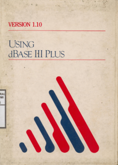
Using dBase III plus : version 1.10
Using dBase III plus is an encyclopedia of nformation on keywords, commands and fungsions, and how to do basic data management task in dBase III plus. If you have completed Learning dBase III plus or are otherwise familiar with dBase, programming, or database management, this section is for you. If youa are an intermediated-to-advanced user, you may also wish to refer to programming with dBase …
- Edisi
- -
- ISBN/ISSN
- -
- Deskripsi Fisik
- 259,.ill. 21 x 15 cm
- Judul Seri
- -
- No. Panggil
- 055.5 LUS u
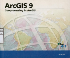
Arcgis 9 : Geoprocessing in ArcGIS
eoprocessing is the processing of geographic information, on the most basic funcions of a geographic information sytem (GIS). Within any of the ESRI Arcgis Desktop product ArcInfo, ArcEditor, and ArcView. You can perform geoprocessing task on your data. Geoprocessing provides a way to create new information by processing exiting data. Any alteration or information extraction performed on data i…
- Edisi
- -
- ISBN/ISSN
- 1-58948-092-9
- Deskripsi Fisik
- 357p,.ill. 22 x 19 cm
- Judul Seri
- -
- No. Panggil
- 055.5 ILL a
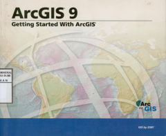
ArcGIS 9 : Getting started with arcgis
This self-study workbook is a hands-on introduction to geographic information system (GIS) software using the ESRI Arcgis Desktop product-Arcinfo, ArcEditor, and Arciew. A Gis is a computer based system for collecting, storing, managing, analyzing, and presenting geographic information. In this book, you'II plan and conduct a GIS analysis project with the applications found in Arcgis desktop.
- Edisi
- -
- ISBN/ISSN
- 1-58948-091-0
- Deskripsi Fisik
- 262p,.ill. 22 x 19 cm
- Judul Seri
- -
- No. Panggil
- 005.5 OTT a
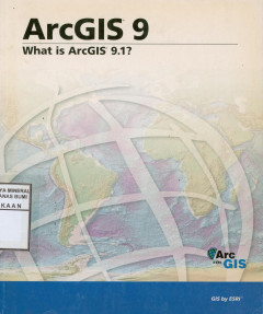
ArcGIS 9 : what is Arcgis 9.1?
ArcGIS software is a comprehensive, integrated, scaleable system for implementing a geographic information system (GIS) for a single user or for many user on desktop, in sercer, over the web, and in the field. It consist of a number of frameworks for deploying GIS including. what is arcGIS 9.1? discusses the various parts of Arcgis and the role each part plays in a GIS, as well as taking a clos…
- Edisi
- -
- ISBN/ISSN
- 1-58948-132-1
- Deskripsi Fisik
- 119p,.ill. 22 x 19 cm
- Judul Seri
- -
- No. Panggil
- 005.5 SRI a
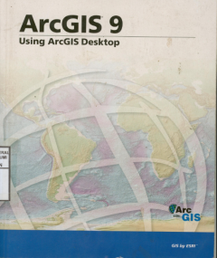
ArcGIS 9 : Using arcgis desktop
ArcGIS desktop lets you perform the full range of GIS task-from geodatabase design and management to data editing, from map query to cartographic production and sophisticated geographic visualization and anaysis. It is where the core work of GIS occurs. This book gives you an overview of the ArcGIS Desktop system and shows you how to access the basic funcions of the software.
- Edisi
- -
- ISBN/ISSN
- 978-1-58948-167-1
- Deskripsi Fisik
- 419p,.ill. 22 x 19 cm
- Judul Seri
- -
- No. Panggil
- 005.5 SRI a
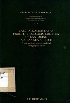
Calc-Alkaline Lavas From The Volcanic Complex of Santorini Aegean Sea, Greece
This thesis presents the results of a petrological-geochemical and stratigraphic study of the calc-alkaline lava from Santorini, Aegean Sea, Greece. The volcanic complex of Santorini consists of seven eruption centres, of which some have been active contemporaneous.
- Edisi
- -
- ISBN/ISSN
- -
- Deskripsi Fisik
- 257 hal,; gbr.; tabel.
- Judul Seri
- -
- No. Panggil
- PVG (043)550.34 HUI c c.1
 Karya Umum
  Filsafat
  Agama
Agama  Ilmu-ilmu Sosial
  Bahasa
  Ilmu-ilmu Murni
  Ilmu-ilmu Terapan
  Kesenian, Hiburan, dan Olahraga
  Kesusastraan
  Geografi dan Sejarah