Ditapis dengan
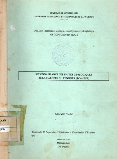
Reconnaissance Des Unites Geologiques De La Caldera Du Tengger (Java Est)
Les techniques nouvelles d'observation de la terre par satellite permettent d'ameliorer les etudes preliminaires de cartographie geologique en domaine volcanique comme en domaine sedimentaire et metamorphique. L'objectif du travail presente dans ce memoire est d'essayer de reconnaitre les produits volcaniques existant dans la caldera du complexe Tengger, Java-Est.
- Edisi
- -
- ISBN/ISSN
- -
- Deskripsi Fisik
- 45 hlm.; gbr.
- Judul Seri
- -
- No. Panggil
- PVG (043)551.21(E3) MUL l c.1
The Stratigraphy and Sedimentation of the Most Eastern Part of the Gunung Sew…
The vicinity of Punung has been chosen by the author as a subject for this paper, because it offers an interesting problem in sedimentation. In the Tertiary the area was a shallow marine basin which bordered on a landmass, at that time situated North of Punung.
- Edisi
- -
- ISBN/ISSN
- -
- Deskripsi Fisik
- 142 hlm.;gbr.
- Judul Seri
- -
- No. Panggil
- PVG (043)551.7(E) SAR s c.1
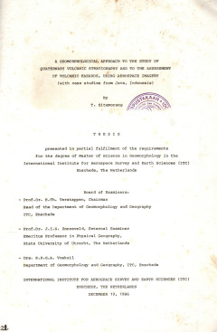
A Geomorphological Approach The Study Of The Quaternary Volcanic Stratigraphy…
Volcanism has played a central role in forming man's environment. In one side, volcanic disasters rank high among natural hazards especially in countries where active volcanoes do occur in densely populated areas. Pyroclastic flows and lahar flows have been important agents of death among the types of volcanic hazards.
- Edisi
- -
- ISBN/ISSN
- -
- Deskripsi Fisik
- 137 hlm.;gbr.
- Judul Seri
- -
- No. Panggil
- PVG (043)551.21 SIT a c.1
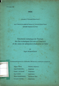
Geochimie Isotopique Du Thorium Des Iles Oceanique (Uslande Et Canaries) Et D…
Le volcanisme est peut-etre le processus geologiquele plus spectaculaire a l'echelle humaine, mais aussi souvent le plus meurtrier, deux raisons qui justifient les efforts pour mieux comprendre ce phenomene fondamental. Divers domaines des sciences de la Terre concourrent a la recherche en volcanologie.
- Edisi
- -
- ISBN/ISSN
- -
- Deskripsi Fisik
- 141 hlm.;gbr.
- Judul Seri
- -
- No. Panggil
- PVG (043) SIG g c.1
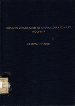
Volcanic Stratigraphy Geochemistry of The Idjen Caldera Complex,East Java Ind…
The Idjen caldera is classed as a Krakatoa type or stratocone caldera and is characterized by a caldera floor, a caldera escarpment, and older volcanic forms. The caldera diameter rangers from 14 by 16 km at the rim to 11 14 km at the floor with a maximum depth of 709m.
- Edisi
- -
- ISBN/ISSN
- -
- Deskripsi Fisik
- 144 hal,; gbr.; lamp.; tabel.
- Judul Seri
- -
- No. Panggil
- PVG (043)551.7(E3) SIT v c.1
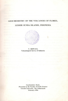
Geochemistry Of The Volcanoes Of Flores, Lesser Sunda Islands, Indonesia
The island of Flores, one of the Lesser Sunda Islands, is about 350km long and contains a large number of active or recently active volcanoes. Including Paluweh Island, there are at least 12 volcanoes with records of recent activity.
- Edisi
- -
- ISBN/ISSN
- -
- Deskripsi Fisik
- 67 hal,; gbr.; lamp.; photo.
- Judul Seri
- -
- No. Panggil
- PVG (043)550.84 SRI g c.1
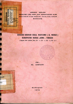
Geologi Daerah Colo, Rahtawu (G. Muria) Kabupaten Kudus Jawa - Tengah
Daerah pemetaan termasuk bagian selatan G. Muria kira-kira berjarak 20km sebelah utara Kabupaten Kudus, Jawa Tengah, Daerah ini terdapat pola penyaluran radier dengan bentuk morfologi perbukitan bergelombang terjal dengan lembah sugai yang sempit serta dalam.
- Edisi
- -
- ISBN/ISSN
- -
- Deskripsi Fisik
- 113 hal,; gbr.; lamp.; tabel; peta.
- Judul Seri
- -
- No. Panggil
- PVG (043)55(E2) SJA g c.1
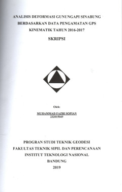
Analisis Deformasi Gunungapi Sinabung Berdasarkan Data Pengamatan GPS Kinemat…
Tujuan dari penelitian ini adalah untuk mengetahui besar pergeseran pada setiap titik-titik pengamatan GPS pada saat terjadi aktivitas erupsi/letusan Gunungapi Sinabung, serta mengetahui fenomeda deformasi yang terjadi ketika aktivitas erupsi pada setiap stasiun pengamatan GPS yang digunakan.
- Edisi
- -
- ISBN/ISSN
- -
- Deskripsi Fisik
- 43 hal,; gbr.; lamp.; tabel; daf. singkatan.
- Judul Seri
- -
- No. Panggil
- PVG (043)551.24(G1) SOP a c.1
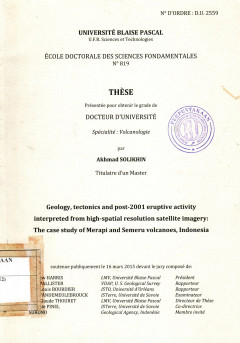
Geology,tectonics and post-2001 eruptive activity interpreted from high-spati…
Penginderaan jauh telah lama dikenal sebagau suatu alat untuk analisis di gunungapi aktif dan berbahaya karena dapat meningkatkan pemahaman kita tentang proses yang mendasari aktivitas gunung berapi sehingga memungkinkan kita untuk menerapkan pemahaman ini dalam pengurangan risiko erupsi gunungapi. Disertasi ini menyajikan studi vulkanologi menggunakan citra satelit optik resolusi tinggi (IKINO…
- Edisi
- -
- ISBN/ISSN
- -
- Deskripsi Fisik
- 229 hal,; gbr.; lamp.; tabel.
- Judul Seri
- -
- No. Panggil
- PVG (043)551.21(E2) SOL g c.1
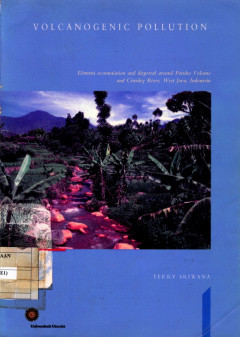
Volcanogenic Pollution; Element Accumulation And Dispersal Around Patuha Volc…
This thesis describes the result of a geochemical study concering the causes and consenquences of a natural form of environmental pollution that is associated with volcanic activity. Concentrations of chemical elemetns strongly exceed common geological background levels in the study area near Patuha volcano, West Java, Indonesia.
- Edisi
- -
- ISBN/ISSN
- -
- Deskripsi Fisik
- 175 hal,; gbr.; tabel.
- Judul Seri
- -
- No. Panggil
- PVG (043)551.21 SRI v c.1
 Karya Umum
  Filsafat
  Agama
Agama  Ilmu-ilmu Sosial
  Bahasa
  Ilmu-ilmu Murni
  Ilmu-ilmu Terapan
  Kesenian, Hiburan, dan Olahraga
  Kesusastraan
  Geografi dan Sejarah