Ditapis dengan

Lahar of the Agung - Volcano as Secondary Destruktive Element
The shape of the Agung-volcano - as a "rain-catcher" itself - showed how regularly the rains were pouring down in the surroundings of its summit depending upon the wind direction. Initially the wind was blowing from the East, then it gradually changed into a mix-direction before it kept its steady direction from the West. Owing to the topography of the volcano the first lahars set into motion b…
- Edisi
- -
- ISBN/ISSN
- -
- Deskripsi Fisik
- 11 hlm.
- Judul Seri
- -
- No. Panggil
- PVG G.63-5
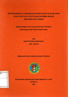
Potensi Bahaya Lahar Hujan di Sepanjang Kali Bladak Pasca Letusan Gunung Kelu…
Penelitian mengenai potensi bahaya lahar dapat membantu masyarakat yang bertempat tinggal di daerah gunung api aktif untuk mengatisipasi adanya bahaya lahar yang kemungkinan akan menimpa masyarakat tersebut. Daerah penelitian terletak di Kali Bladak daerah Gunungapi Kelud, Kab. Blitar, Provinsi Jawa Timur, pada Peta rupabumi terletak pada lembar Blitar, Serengat, Wilingim kandar, Cancar, Krisik…
- Edisi
- -
- ISBN/ISSN
- -
- Deskripsi Fisik
- 56 hal,; gbr.; tabel; foto; lamp.
- Judul Seri
- -
- No. Panggil
- PVG (043)551.21(E3) PAM p c.1
 Karya Umum
  Filsafat
  Agama
Agama  Ilmu-ilmu Sosial
  Bahasa
  Ilmu-ilmu Murni
  Ilmu-ilmu Terapan
  Kesenian, Hiburan, dan Olahraga
  Kesusastraan
  Geografi dan Sejarah