Ditapis dengan
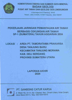
Pekerjaan Jaringan Pemantauan Air Tanah Berbasis Cekungan Air Tanah di Desa T…
Laporan ini merupakan hasil dari kegiatan pengeboran dan pemantauan air tanah yang betujuan untuk menyediakan data dan informasi yang akurat mengenai kondisi air tanah di Desa Tanjung Baru, Kecamatan Tanjung Morawa, Kabupaten Deli Serdang, Provinsi Sumatera Utara
- Edisi
- -
- ISBN/ISSN
- -
- Deskripsi Fisik
- iii, 40 hlm.:ill;gbr;tab;lamp.
- Judul Seri
- -
- No. Panggil
- PAG L2025-46
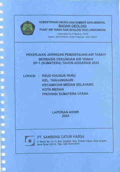
Pekerjaan Jaringan Pemantauan Air Tanah Berbasis Cekungan Air Tanah di Kelura…
Laporan ini merupakan hasil dari kegiatan pengeboran dan pemantauan air tanah yang betujuan untuk menyediakan data dan informasi yang akurat mengenai kondisi air tanah di Kelurahan Tanjungsari, Kecamatan Medan Selayang, Kota Medan, Provinsi Sumatera Utara
- Edisi
- -
- ISBN/ISSN
- -
- Deskripsi Fisik
- iii, 40 hlm.:ill;gbr;tab;lamp.
- Judul Seri
- SP-1 Tahun Anggaran 2024
- No. Panggil
- PAG L2025-45
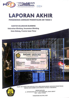
Laporan Akhir Pengeboran Jaringan Pemantauan Air Tanah 2 di Kelurahan Blimbin…
Laporan ini merupakan gambaran mengenai tahapan, metode, peralatan dan juga teknik yang digunakan dalam pengerjaan pengeboran jaringan pemantauan air tanah di Kelurahan Blimbing, Kecamatan Blimbing, Kota Malang, Provinsi Jawa Timur
- Edisi
- -
- ISBN/ISSN
- -
- Deskripsi Fisik
- iv, 40 hlm.:ill;gbr;tab;lamp.
- Judul Seri
- -
- No. Panggil
- PAG L2025-44
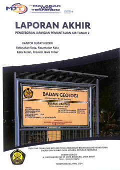
Laporan Akhir Pengeboran Jaringan Pemantauan Air Tanah 2 di Kelurahan Kota, K…
Laporan ini merupakan gambaran mengenai tahapan, metode, peralatan dan juga teknik yang digunakan dalam pengerjaan pengeboran jaringan pemantauan air tanah di Kelurahan Kota, Kecamatan Kota, Kota Kediri, Provinsi Jawa Timur
- Edisi
- -
- ISBN/ISSN
- -
- Deskripsi Fisik
- iv, 40 hlm.:ill;gbr;tab;lamp.
- Judul Seri
- -
- No. Panggil
- PAG L2025-43
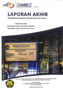
Laporan Akhir Pengeboran Jaringan Pemantauan Air Tanah 2 di Desa Segoromadu, …
Laporan ini merupakan gambaran mengenai tahapan, metode, peralatan dan juga teknik yang digunakan dalam pengerjaan pengeboran jaringan pemantauan air tanah di Desa Segoromadu, Kecamatan Kebomas, Kabupaten Gresik, Provinsi Jawa Timur
- Edisi
- -
- ISBN/ISSN
- -
- Deskripsi Fisik
- iv, 40 hlm.:ill;gbr;tab;lamp.
- Judul Seri
- -
- No. Panggil
- PAG L2025-42
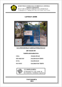
Laporan Akhir Jasa Pengeboran Jaringan Pemantauan Air Tanah Desa Graha Indah,…
Laporan ini merupakan gambaran mengenai tahapan, metode, peralatan dan juga teknik yang digunakan dalam pengerjaan pengeboran jaringan pemantauan air tanah di Desa Graha Indah, Kecamatan Balikpapan Timur, Provinsi Kalimantan Timur
- Edisi
- -
- ISBN/ISSN
- -
- Deskripsi Fisik
- -
- Judul Seri
- Laporan Akhir jasa Pengeboran Jaringan Pemantauan Air Tanah SP3 Tahun Anggaran 2024
- No. Panggil
- PAG L2025-21
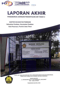
Laporan Akhir Pengeboran Jaringan Pemantauan Air Tanah 2 di Kelurahan Pandaan…
Laporan ini merupakan gambaran mengenai tahapan, metode, peralatan dan juga teknik yang digunakan dalam pengerjaan pengeboran jaringan pemantauan air tanah di Kelurahan Pandaan, Kecamatan Pandaan, Kota Pasuruan, Provinsi Jawa Timur
- Edisi
- -
- ISBN/ISSN
- -
- Deskripsi Fisik
- iv, 40 hlm.:ill;gbr;tab;lamp.
- Judul Seri
- -
- No. Panggil
- PAG L2025-41
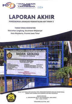
Laporan Akhir Pengeboran Jaringan Pemantauan Air Tanah 2 di Kelurahan Lengkon…
Laporan ini merupakan gambaran mengenai tahapan, metode, peralatan dan juga teknik yang digunakan dalam pengerjaan pengeboran jaringan pemantauan air tanah di Kelurahan Lengkong, Kecamatan Mojoanyar, Kota Mojokerto, Provinsi Jawa Timur
- Edisi
- -
- ISBN/ISSN
- -
- Deskripsi Fisik
- iv, 40 hlm.:ill;gbr;tab;lamp.
- Judul Seri
- -
- No. Panggil
- PAG L2025-40
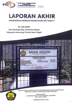
Laporan Akhir Pengeboran Jaringan Pemantauan Air Tanah 2 di Desa Randugunting…
Laporan ini merupakan gambaran mengenai tahapan, metode, peralatan dan juga teknik yang digunakan dalam pengerjaan pengeboran jaringan pemantauan air tanah di Desa Randugunting, Kecamatan Bergas, Kabupaten Semarang, Provinsi Jawa Tengah.
- Edisi
- -
- ISBN/ISSN
- -
- Deskripsi Fisik
- iv, 40 hlm.:ill;gbr;tab;lamp.
- Judul Seri
- -
- No. Panggil
- PAG L2025-39
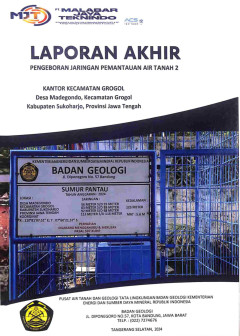
Laporan Akhir Pengeboran Jaringan Pemantauan Air Tanah 2 di Desa Madegondo, K…
Laporan ini merupakan gambaran mengenai tahapan, metode, peralatan dan juga teknik yang digunakan dalam pengerjaan pengeboran jaringan pemantauan air tanah di Desa Madegondo, Kecamatan Grogol, Kabupaten Sukoharjo, Provinsi Jawa Tengah
- Edisi
- -
- ISBN/ISSN
- -
- Deskripsi Fisik
- iv, 40 hlm.:ill;gbr;tab;lamp.
- Judul Seri
- -
- No. Panggil
- PAG L2025-38
 Karya Umum
  Filsafat
  Agama
Agama  Ilmu-ilmu Sosial
  Bahasa
  Ilmu-ilmu Murni
  Ilmu-ilmu Terapan
  Kesenian, Hiburan, dan Olahraga
  Kesusastraan
  Geografi dan Sejarah