Ditapis dengan
Ditemukan 3 dari pencarian Anda melalui kata kunci: subject="Geomorphological"

Petrological Consequences Derived from Anak Krakatau ' s Fifty Years of Geomo…
In Anak Krakatau's fifty years of existence an evolutionary developmental growth of its geomorphology and a gradually changing silica-content in the effusive throughout its five decades of eruptive activity could be recognied (De Neve, 1980, 1981).
- Edisi
- -
- ISBN/ISSN
- -
- Deskripsi Fisik
- 49 hlm; peta
- Judul Seri
- -
- No. Panggil
- PVG A.82-16

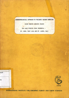
Geomorfological Approach to Volcanic Hazard Zonation ; Using Remote Sensing I…
This thesis concered with volcanic hazard and risk. The study was addressed to analyzed and mapping of volcanic landform, mapping of volcanic hazard and volcanic risk zones of the area by yusing an aid of aerial photograph and other remote sensing image. Geomorphological approach have been used for analysing the landform wich is relatide to the volcanic hazard and its risk.
- Edisi
- -
- ISBN/ISSN
- -
- Deskripsi Fisik
- 94 hal.; tabel; figure; maps.
- Judul Seri
- -
- No. Panggil
- PVG (043)550.816 BAC g c.1

Geomorphological Hazards And Disaster Rrevention
As resenfeld (2004,p.423)wrote,'A significant practical contribution of geomorphology is the identification of stable landforms and sites with a low probability of catastrophic or progressive involvement with natural or maniduced precesses adverse to humon occupance or use.
- Edisi
- -
- ISBN/ISSN
- 978-0-521-76925-9
- Deskripsi Fisik
- 291 Halaman takberwarna ,bergambar
- Judul Seri
- -
- No. Panggil
- PMB
 Karya Umum
  Filsafat
  Agama
Agama  Ilmu-ilmu Sosial
  Bahasa
  Ilmu-ilmu Murni
  Ilmu-ilmu Terapan
  Kesenian, Hiburan, dan Olahraga
  Kesusastraan
  Geografi dan Sejarah