Ditapis dengan
Ditemukan 2 dari pencarian Anda melalui kata kunci: subject="semeru volcano"

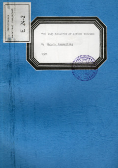
The 1885 Disaster of Semeru Volcano
In 1885 a part of the southen collapse due to the pressure of the lava in the Semeru
- Edisi
- -
- ISBN/ISSN
- -
- Deskripsi Fisik
- 5hlm
- Judul Seri
- -
- No. Panggil
- PVG E.24-2

Lahar and Pyroclastic Flow Hazard Zoning of Semeru Volvano, East Java, Indonesia
A additional complexity of volcanic activity is the need to place it in a human context in order to avoid volcanic disaster. Photo-interpretation of the existing aerial photographs at 1: 50,000 scale dating from 1982 has been undertaken to greatly Increase the efficiency of the volcanic hazards survey at Semeru vulcano. This photo-interpretation map has been checked in the field, and a geomorph…
- Edisi
- -
- ISBN/ISSN
- -
- Deskripsi Fisik
- 16hlm; peta
- Judul Seri
- -
- No. Panggil
- PVG E.89-7
 Karya Umum
  Filsafat
  Agama
Agama  Ilmu-ilmu Sosial
  Bahasa
  Ilmu-ilmu Murni
  Ilmu-ilmu Terapan
  Kesenian, Hiburan, dan Olahraga
  Kesusastraan
  Geografi dan Sejarah