Ditapis dengan

Laporan Lapangan Cara dan Tempat Pengamatan Geomagnet di Gunung Merapi (2)
Penelitian Geomagnet di G. Merapi, Jawa Tengah, telah dimulai sejak tahun 1967 yang merupakan kerja sama antara Dinas Vulkanologi dengan seksi - seksi Esplorasi dan penelitian geofisika.
- Edisi
- -
- ISBN/ISSN
- -
- Deskripsi Fisik
- 3 hlm
- Judul Seri
- -
- No. Panggil
- PVG E.74-15

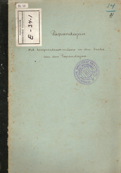
Papandayan, Het Temperatur Verlop In Den Krater Van den Papandayan
Naar aanleiding van de hooge tamperaturen, die in de eerate helft van Februari 1934 in de Kawah as van den Papandajan sijn gemeten, werd ik op 18 Februari or been gezonden on den toestand na te gaan.
- Edisi
- -
- ISBN/ISSN
- -
- Deskripsi Fisik
- 13 hlm
- Judul Seri
- -
- No. Panggil
- PVG E.34-1

Temperature Observations at Papandayan Volcano, Extension and Intersity Of Th…
As mentioned, during the observation, extensive temperature observations were carried out. From this on the first place appeared, that within the crater groups of solfatara's and hot springs can be distinguished, which temperature strongly varied. The distribution of the temperatures is for a fixed day (September 2, 1924) given on Plate II. We see from this, that the highest temperature occurre…
- Edisi
- -
- ISBN/ISSN
- -
- Deskripsi Fisik
- 14 hml
- Judul Seri
- -
- No. Panggil
- PVG E.25-1

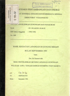
Hasil Kegiatan Lapangan Di Gunung Merapi Bulan September 1995
Telah dilakukan pemantauan Gunung Merapi secara terpadu dari berbagai bidang yang ada di Seksi Penyelidikan Gunung Merapi pada bulan September 1995. Kegiatan utama bidang geokimia yaitu pengambilan gas vulkanik, kondensat, dan pengukuran temperatur di Puncak Gunung Merapi.
- Edisi
- -
- ISBN/ISSN
- -
- Deskripsi Fisik
- 25 hlm
- Judul Seri
- -
- No. Panggil
- PVG E.95-32

Studi Perencanaan, Pembuatan dan Uji Coba Sistem Telemetry SP Di G. Merapi Yo…
Laporan ini membahas terkait dengan perencanaan (disain) Sistem/Subsistem/Peralatan telementri SP, Perakitan, dan Uji coba lapangan. Perencanaan dan perakitan Sistem Telementry SP telah dilakukan sejak tahun 1984, ketika Subdit masih bernama "Laboratorium Gunungapi", dengan Seksi "Geofisika" salah satu seksinya. Uji cobapun telah dilakukan meskipun, dengan hasil yang belum memuaskan, atau berar…
- Edisi
- -
- ISBN/ISSN
- -
- Deskripsi Fisik
- 9 hlm
- Judul Seri
- -
- No. Panggil
- PVG E.93-41

Penyelidikan Kimia Gas, Batuan dan Temperatur Di Puncak Gunung Merapi
Dalam rangka mengantisipasi peningkatan aktivitas gas Gunung Merapi telah dilakukan pemantauan secara kimia yaitu dalam bidang geokimia gas. Kegiatan penyelidikan meliputi pengambilan dan analisis kimia gas vulkanik dan pengukuran temperatur di lapangan solfatar Gendol G.13 dan Woro. 30 di Puncak G.Merapi. Selain itu, dilakukan pula cuplikan udara bebas di puncak G.Merapi.
- Edisi
- -
- ISBN/ISSN
- -
- Deskripsi Fisik
- 7 hlm
- Judul Seri
- -
- No. Panggil
- PVG E.92-38

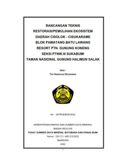
Rancangan teknis restorasi/pemulihan ekosistem daerah Cisolok-Cisukarame blok…
- Edisi
- -
- ISBN/ISSN
- -
- Deskripsi Fisik
- iii, 24 hlm. : ilus. ; 30 cm. + Lampiran
- Judul Seri
- -
- No. Panggil
- PMB LE 2022 - 3 PB
- Edisi
- -
- ISBN/ISSN
- -
- Deskripsi Fisik
- iii, 24 hlm. : ilus. ; 30 cm. + Lampiran
- Judul Seri
- -
- No. Panggil
- PMB LE 2022 - 3 PB

Integration of GIS and Remote Sensing
Integration of GIS and Remote Sensing explores the tremendous potential that lies along the interface between GIS and remote sensing for activating interoperable databases and instigating information interchange.it concentrates on the rigorous and maticulous aspects analytical data matching and thematic compatibility-the true roots of all branches of GIS/remote sensing applications .however ,cl…
- Edisi
- -
- ISBN/ISSN
- 978-0-470-86409-8
- Deskripsi Fisik
- xvi, 296 hlm. : ilus. ; 23 cm.
- Judul Seri
- Mastering GIS : Technology, Applications And Management
- No. Panggil
- 910.285 MES i

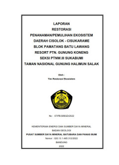
Laporan restorasi penanaman/pemulihan ekosistem daerah Cisolok-Cisukarame blo…
- Edisi
- -
- ISBN/ISSN
- -
- Deskripsi Fisik
- v, 27 hlm. : ilus. ; 30 cm + Peta
- Judul Seri
- -
- No. Panggil
- PMB LE 2022 - 2 PB
- Edisi
- -
- ISBN/ISSN
- -
- Deskripsi Fisik
- v, 27 hlm. : ilus. ; 30 cm + Peta
- Judul Seri
- -
- No. Panggil
- PMB LE 2022 - 2 PB

Laporan Pemetaan Kawasan Rawan Bencana G. Api Kawah Tempang, Sulawesi Utara
Pemetaan kawasan rawan bencana Gunung api Tempang dilakukan dalam rangka pelaksanaan proyek penyelidikan dan pengamatan gunung api. Pemetaan dilakukan oleh seksi pemetaan daerah bahaya Sub Dit Pemetaan Gunung api
- Edisi
- -
- ISBN/ISSN
- -
- Deskripsi Fisik
- 26hlm; gbr
- Judul Seri
- -
- No. Panggil
- PVG S.97-18
 Karya Umum
  Filsafat
  Agama
Agama  Ilmu-ilmu Sosial
  Bahasa
  Ilmu-ilmu Murni
  Ilmu-ilmu Terapan
  Kesenian, Hiburan, dan Olahraga
  Kesusastraan
  Geografi dan Sejarah